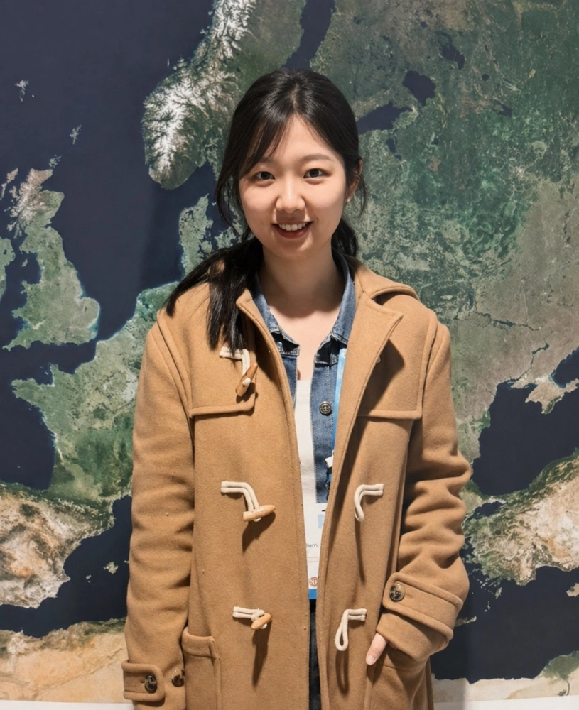
From hundreds of kilometers above Earth’s surface, satellites can detect movements measured in mere millimeters. For geophysicist Lin Shen, those seemingly tiny changes can reveal much bigger stories about earthquakes, volcanoes, and the changing environment.
Shen, the newest faculty member in the Department of Earth Science and Environmental Change, specializes in satellite geodesy and remote sensing. Her academic career has taken her from China to the United Kingdom and the United States, including a PhD in earth sciences from the University of Leeds and, most recently, a position as an associate research scientist at Columbia University’s Lamont-Doherty Earth Observatory.
Her interest in satellite geodesy began during her doctoral studies, when she started using satellite radar to study earthquakes and tectonic deformation. Since then, her research has expanded to include volcanic activity, land subsidence, and other environmental hazards.
“What attracted me most to satellite geodesy, particularly InSAR, was the idea that we can understand processes happening deep within the Earth by measuring very small surface changes from space,” Shen said.
Watching the Earth move
A major tool in Shen’s research is Interferometric Synthetic Aperture Radar, or InSAR, a satellite-based technique that allows researchers to compare radar images of the same area taken at different times. By measuring changes between those observations, researchers can detect how the ground has moved.
Under favorable conditions, InSAR can detect movement of just a few millimeters across regions hundreds or even thousands of kilometers wide. That broad coverage is one of the technique’s greatest strengths: Rather than measuring ground motion at a handful of individual locations, researchers can create detailed maps showing how an entire landscape is moving.
“Instead of just providing us the ground motion for a very few discrete points, using InSAR, we can create a very dense map of how an entire landscape is moving,” Shen said.
Shen uses those measurements to investigate several distinct yet related questions. For earthquakes, she studies how strain accumulates along faults, helping researchers better understand seismic hazards. At volcanoes, she looks for patterns of surface deformation that could provide clues about volcanic unrest.
Her work also extends to environmental hazards. She is currently studying land subsidence in Bangladesh, where land sinking can compound the risks posed by sea-level rise and flooding. Geological and hydrological processes, as well as human activities, can contribute to subsidence, creating additional risks for agriculture, fisheries, and local communities.
“Even a few millimeters per year of sinking can hugely increase the long-term flood and sea-level-rise risks,” Shen said.
A new generation of Earth observations
Shen sees an especially exciting future for satellite-based research as new missions provide more frequent and systematic observations of Earth. She is interested in combining those observations with geophysical models and artificial intelligence to better understand and potentially forecast natural hazards.
One mission she is particularly excited about is NISAR, a joint NASA-ISRO satellite mission that is providing new radar observations of Earth. Its data could enable researchers to study areas that have been challenging to monitor with previous satellite missions, including heavily vegetated regions and ice- or glacier-covered areas.
Shen is already looking ahead to applying these tools to questions ranging from earthquake hazards along the Indo-Burma subduction zone to tectonic deformation in the Cascadia region.
That work is also part of what she hopes to bring to Illinois. She was drawn to ESEC by what she describes as its collaborative and interdisciplinary environment, and she looks forward to working with researchers across the department, as well as with the Illinois State Geological Survey and the Illinois State Water Survey.
“I would like to introduce some new research directions to the students,” Shen said. As the tools available to Earth scientists continue to change rapidly, she hopes students will feel free to explore new approaches rather than choosing a narrow research direction too early.
“I think it’s very important for both the students and me to learn new things and new tools,” she said. “I’m really looking forward to collaborating with colleagues and also students here, and I also want to learn more from their experience.”